Agriculture: Precision Spraying & Crop Scouting
Modern farming is data-driven and time-critical. Drones let growers scout faster and apply more precisely, reducing costs and environmental impact while boosting yields.
The Challenge
When fields are muddy, labour is short, disease pressure is rising, and input costs are high, traditional ground equipment cannot keep pace. Manual scouting covers only a fraction of the field, and blanket spraying wastes chemicals on areas that do not need treatment.
The Solution
- Multispectral scouting — the Mavic 3M captures NDVI and stress maps in a single autonomous flight, covering hundreds of acres per hour.
- Prescription spraying — stress maps are converted into variable-rate prescriptions loaded onto the Agras T100 or T50.
- Spot spraying — AI-driven nozzle control applies product only where weeds or disease are detected.
- Seeding and spreading — the same platforms handle cover-crop seeding and granular fertilizer spreading.
Results
Featured Equipment
DJI AGRAS T100
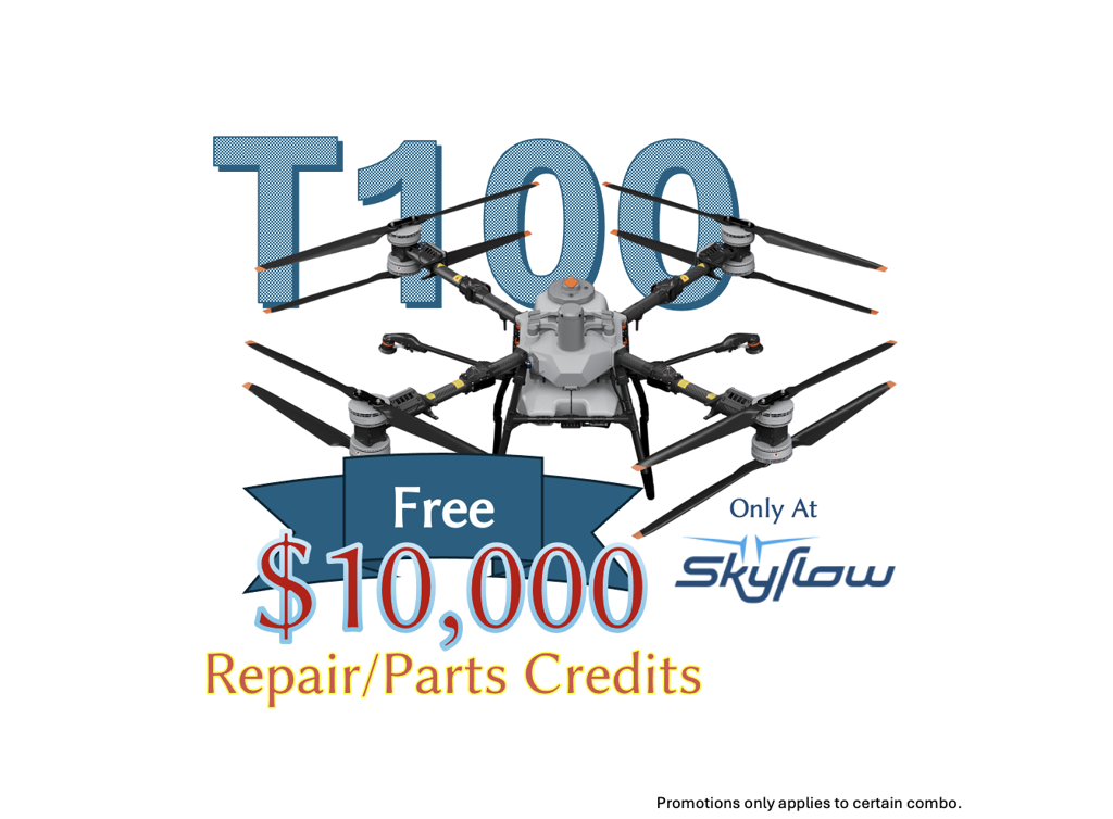
DJI AGRAS T100: The Future of High-Capacity Agricultural Drones The DJI AGRAS T100 (DJI T100) represents the pinnacle of aerial agriculture technology. Built on a legacy of twelve year s of innovation, this platform is designed for professional operators who demand speed, volume, and reliability. Whether you are spraying crops, spreading fertilizer, or managing farm logistics, the T100 offers a comprehensive solution. It combines a massive payload capacity with industry leading safety systems to deliver unmatched operation efficiency . 1. Aerial Spraying: Maximum Throughput For large-scale farming, stopping to refill tanks destroys productivity. The T100 solves this with a high-capacity liquid ecosystem designed to keep you in the air longer. Key Spraying Features Massive Tank: Comes equipped with a 100 L spray tank . High Flow Rate: Delivers a standard flow rate of 30 L/min (2 nozzles). This can be upgraded to 40 L/min with a 4-nozzle configuration. Precision Application: Utilizes dual atomizing centrifugal sprinklers . These allow you to adjust droplet sizes between 50–500 μm to suit different crop types and weather conditions. Why This Matters: The combination of a large tank and high flow rate allows the T100 agricultural drone to cover significantly more hectares per hour than previous models. The atomizing sprinklers ensure chemicals are applied evenly, reducing waste and improving crop health. 2. Spreading System 4.0: Heavy-Duty Performance The T100 is not just a sprayer; it is a heavy-lift spreader. The updated spreading system is engineered for granular fertilizers, seeds, and feed. Key Spreading Stats Capacity: A 150 L spreading hopper. Speed: Capable of a discharge rate up to 400 kg min . Coverage: Effective spreading width of 3 to 10 meters. Why This Matters: With a discharge rate of 400 kg min , you can complete fertilizer applications during tight seasonal windows. This high-volume capability makes the T100 a viable alternative to ground-based tractors, preventing soil compaction while maintaining high speeds. 3. Cargo Lifting: Beyond Agriculture The T100 expands the definition of a farm drone. It features a robust motor structure capable of heavy lifting, making it a versatile tool for farm logistics. Payload: Supports a lifting weight of up to 100 kg . Reach: Includes a 10m standard cable (recommended range 10–15m). Why This Matters: You can use the T100 to transport feed, tools, or fencing materials to hard-to-reach areas of your property. This reduces the need for manual carrying or vehicle trips across difficult terrain. 4. Safety and Sensing: Fly with Confidence Operating a large drone requires advanced situational awareness. The T100 integrates a sophisticated sensor stack to ensure safe operation in complex environments. The Sensing Ecosystem The drone utilizes advanced algorithms to fuse data from two primary sources: Active Phased Array Radar: Includes millimeter wave radar which is excellent at detecting terrain changes even in dusty or foggy conditions. Penta Vision System: A visual sensor array that provides broad situational awareness. Why This Matters: This combination provides real time obstacle detection . The Penta Vision system works alongside the radar to create a 3D map of the environment, allowing the drone to bypass obstacles autonomously. This protects your investment and ensures safety for ground crews. 5. Power and Charging High-tempo operations cannot afford long downtimes. The T100 is supported by a rapid energy ecosystem. Battery: Powered by the DB2160 Intelligent Flight Battery. Speed: Achieves a 30% to 95% charge in just 8–9 minutes using compatible fast chargers (like the D14000iE or C12000).
DJI AGRAS T50
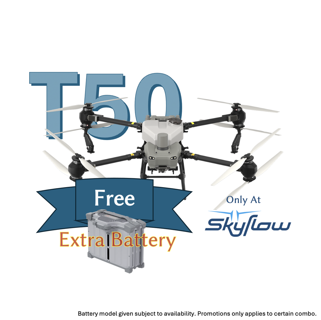
DJI AGRAS T50 (DJI T50) Agriculture Drone The DJI AGRAS T50, frequently searched as DJI T50 or DJI Agras T50, is a high-efficiency agriculture drone built for demanding field operations where throughput, sensing safety, and consistent coverage matter. DJI positions the T50 for multiple scenarios, including spraying and spreading, supported by a coaxial dual-rotor propulsion architecture and an integrated sensing stack. Liquid application system, 40 L spray tank, high flow for large acreage For operators comparing aerial spraying drones and modern crop spraying drone platforms, the T50’s liquid system is centered around a 40 L spray tank (40 kg operating payload). DJI specifies droplet size at 50–500 μm, with an effective spray width of 4–11 m (measured at 3 m above the crop canopy). The dual pump system supports a max flow rate of 16 L/min (2 sprinklers) and 24 L/min (4 sprinklers), which directly aligns with high-intent searches like agriculture spraying drone, uav spraying, and sprayer tank where flow rate and tank capacity are core buying criteria. Spreading capability, 75 L tank, 50 kg load, 8 m width If your operation spans broader drones in agriculture use cases, the T50 also supports granular spreading with a 75 L spread tank and 50 kg internal load, and a specified 8 m spread width (scenario-dependent). This is useful for teams that want one airframe to cover both liquid and granular workflows without switching platforms. Advanced sensing for obstacle awareness and terrain following DJI’s specifications highlight a phased-array radar system and binocular vision to support multidirectional obstacle sensing and terrain following. The radar obstacle sensing range is specified at 1–50 m, with 360° multidirectional sensing noted in the spec sheet. The binocular vision system is specified with a 0.5–29 m measurement range and an effective sensing speed up to ≤10 m/s. Field uptime, fast charging ecosystem (DB1560, C10000, D12000iE) For high-tempo operations, the T50 ecosystem is designed around rapid turnaround. DJI lists the DB1560 Intelligent Flight Battery (30,000 mAh, 52.22 V) and specifies charging times of 9–12 minutes for one DB1560 battery, and also states the C10000 Intelligent Power Supply can fully charge a DB1560 battery in 9–12 minutes (conditions apply). Operating envelope, control range, offline operation DJI notes a maximum flight altitude of 100 m (subject to local regulations), a longest control range of 2,000 m, and maximum operating flight speed of 10 m/s. DJI also markets “offline operation” and highlights payload and flow metrics on the product page, which can be relevant for buyers searching DJI agriculture drone options for remote fields and variable connectivity. Availability note DJI states this product is only available in selected countries and regions, purchasing details are handled through authorized dealers.
DJI Mavic 3 Multispectral (M3M)
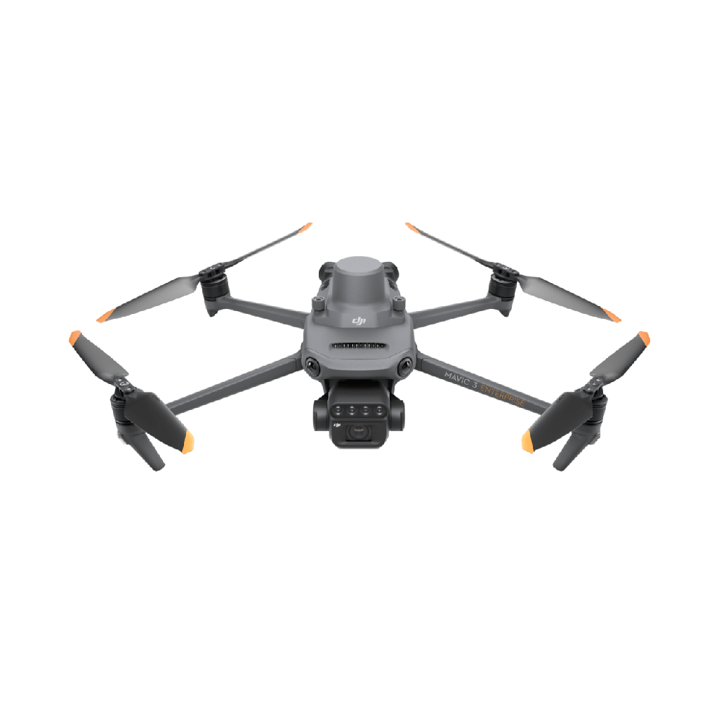
The DJI Mavic 3 Multispectral (M3M) is a dedicated precision agriculture drone built for fast, repeatable crop scouting, vegetation health analysis, and prescription-ready field documentation. For growers and agronomists searching multispectral drone, NDVI drone, crop health drone, or precision agriculture drone, the M3M delivers a highly integrated imaging system that captures both RGB context and calibrated multispectral data in the same flight, with RTK-grade positioning for consistent mapping workflows. Integrated RGB + multispectral imaging for actionable vegetation insights M3M combines one 20MP 4/3 CMOS RGB camera with a mechanical shutter for sharper mapping outputs, plus four 5MP multispectral cameras covering Green, Red, Red Edge, and Near-Infrared (NIR) bands. Retail listings commonly publish the band centers as: NIR: 860 nm ± 26 nm Red Edge: 730 nm ± 16 nm Red: 650 nm ± 16 nm Green: 560 nm ± 16 nm This sensor set is designed to support vegetation index workflows such as NDVI-style analysis, rapid variability detection, and early stress identification before issues become visible from the ground. Mapping efficiency that fits real agronomy schedules DJI markets M3M as a high-efficiency surveying tool and notes coverage of up to 200 hectares per flight under specified conditions, which is exactly the kind of performance claim that matters for large blocks, weekly scouting routes, and time-limited spray windows. For endurance, reseller-published specifications list 43 minutes max flight time in windless conditions, supporting longer mapping sorties and fewer battery interruptions during busy days. RTK precision and microsecond-level time synchronization For repeatable maps and more consistent georeferencing, DJI highlights centimeter-level RTK positioning and microsecond-level time synchronization on the M3M product page. This is especially useful when you need to compare flights over time, align datasets with treatment zones, or produce reliable outputs for agronomy recommendations. Designed for field reliability and confident flight DJI states M3M includes omnidirectional obstacle avoidance and a long-range digital link, with 15 km transmission distance cited on the product page. For enterprise buyers, this is the difference between a “camera drone that can do NDVI” and a field tool that can repeatedly deliver usable datasets.
Want to see these drones in action on your own field?