
Stress detection that shows where the crop is slipping before the whole field looks bad
Stress detection is valuable because it compresses a field into a priority map. Instead of waiting for visible symptoms to spread, teams can use multispectral data to isolate weak zones earlier, decide what deserves walking first, and direct treatment only where the field is actually asking for it.
Recommended stress-detection system
Put the hardware near the top because the workflow begins with reliable capture. The faster the team can move from a multispectral flight into an interpretable zone map, the more likely stress detection turns into prevention instead of post-mortem analysis.
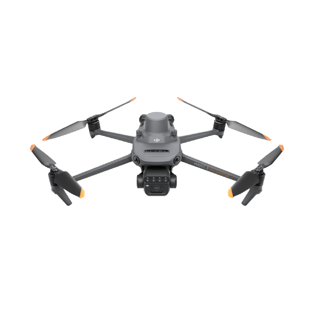
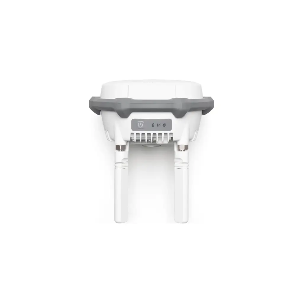

See stress before it is obvious
NIR and red-edge data reveal changes in canopy vigor that often appear earlier than visible yellowing, wilting, or disease symptoms.
Choose the right index for crop stage
NDVI is useful for broad vigor tracking, while NDRE becomes more useful later when dense canopies reduce NDVI sensitivity.
Convert zones into agronomic action
A useful stress map tells the team where to inspect, where to sample, where to treat, and where not to waste time or chemistry.
Track change across revisits
Repeated flights help confirm whether the weak area is stable, spreading, or improving after irrigation, nutrition, or spray intervention.
What stress detection should answer
A stress map matters when it helps the team determine probable cause, urgency, and the next field action.
Which weak zones are most likely tied to water, nutrition, disease, compaction, or insect pressure?
Are the problem areas large and clustered enough to justify targeted treatment instead of a blanket pass?
Is the signal stable across revisits or did the problem expand after weather, irrigation, or management events?
Should the next action be sampling, ground inspection, variable-rate treatment, or simply continued monitoring?
Operational workflow
The best stress-detection workflow is capture, classify, ground-truth, and respond before the signal becomes obvious everywhere.
- 1
Capture a clean multispectral flight
Fly the field with enough overlap and consistent lighting to produce dependable index layers for the crop and stage you are monitoring.
- 2
Generate the right health layer
Use NDVI, NDRE, GNDVI, or another relevant layer based on canopy density and the agronomic signal you are trying to isolate.
- 3
Classify zones by urgency, not color alone
Separate strong, moderate, and weak zones, then rank them by probable management value instead of by image aesthetics.
- 4
Ground-truth the highest-value areas
Walk or sample only the zones most likely to benefit from immediate confirmation and action.
- 5
Export the next intervention
The intervention may be a variable-rate treatment, irrigation adjustment, nutrient correction, disease follow-up, or a scheduled revisit.
Where stress detection creates real value
Locate weaker zones before deficiency becomes visible across the whole field and before rescue options narrow.
Separate scattered stress from true clusters so the team knows where to inspect first and which acres deserve urgent treatment.
When the cause and economics line up, stress maps can become variable-rate application layers instead of remaining only diagnostic images.
What your team should receive after a stress-detection mission
A clean orthomosaic plus the chosen vegetation index layer.
Priority zones ranked by probable issue type and urgency.
GPS-linked field notes or scouting targets for ground confirmation.
A next action: inspect, treat, re-fly, irrigate, fertilize, or monitor.
Research base
This page is grounded in official multispectral workflow information and field references on vegetation index use, revisits, and crop-health interpretation.