
Stand count that shows where emergence succeeded, where it failed, and where replanting still makes sense
Manual stand checks are slow, selective, and easy to under-sample. Drone-based stand count gives the team a field-wide view of population, skips, weak emergence, and gap distribution fast enough to support replant, fertility, and planter-performance decisions while the season is still recoverable.
Recommended stand count system
The product story starts near the top because stand count quality depends first on capture quality. If the imagery is clean, repeatable, and collected at the right stage, the rest of the workflow becomes a management decision instead of an image-processing exercise.
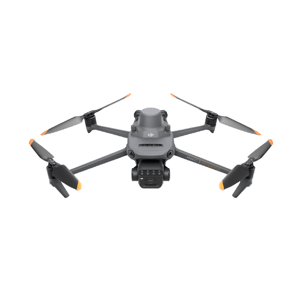
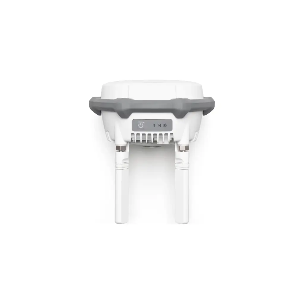
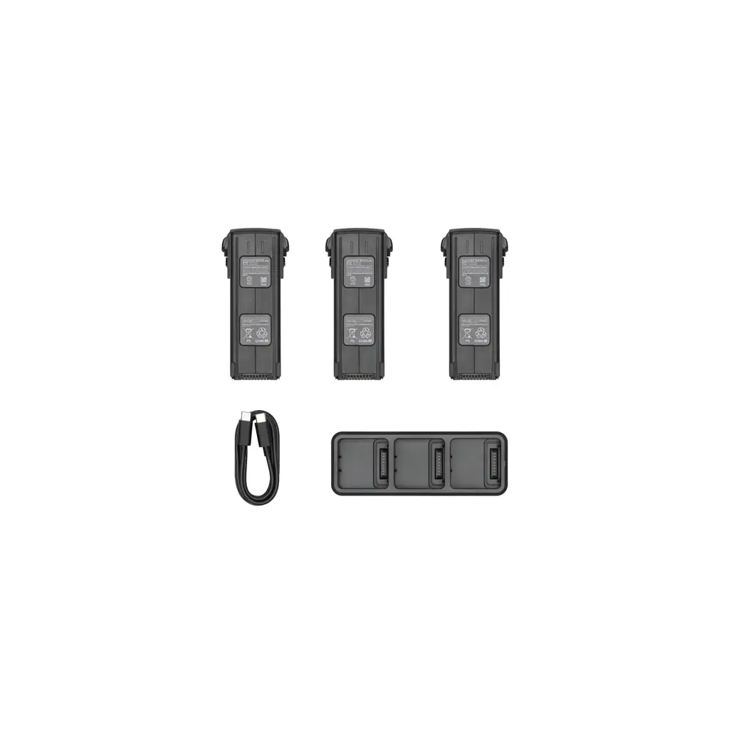
Whole-field emergence visibility
See where population is uniform and where rows break down, instead of assuming a few manual checks represent the whole field.
AI-ready counting workflow
High-resolution imagery supports automated plant identification, gap reporting, and population summaries that are faster than manual tabulation.
Faster replant decisions
Find problem zones while the economics of replanting, rescue fertility, or planter adjustment are still worth acting on.
Ground-truth only where needed
Use the count map to narrow field visits to the worst areas instead of walking entire blocks with no clear priority.
What stand count should answer
A stand count mission is only valuable when it helps the team decide what to fix, what to monitor, and what to leave alone.
Where are emergence gaps large enough to reduce yield potential materially?
Are population losses clustered by soil, drainage, planter performance, turn rows, or another operational pattern?
Is the stand uniform enough to avoid replant, or do specific zones still justify intervention?
Should the next action be replanting, rescue fertility, field inspection, or simply documenting the issue for later analysis?
Operational workflow
The best stand count programs capture early, process quickly, and translate counts into a clear next step.
- 1
Fly before canopy closure
Capture the field when individual plants are still visually separable and emergence patterns can be measured with confidence.
- 2
Build a clean georeferenced map
Process the imagery into an orthomosaic so stand counts, gaps, and row-level variability can be measured spatially instead of estimated from notes.
- 3
Run plant count and gap analysis
Use AI or a counting workflow to convert imagery into population density, plant spacing, and underperforming-zone reports.
- 4
Ground-truth only the weak zones
Walk the worst areas to confirm whether problems come from germination, planter setup, soil conditions, pests, or compaction.
- 5
Export the management decision
That decision may be replant, fertility adjustment, planter troubleshooting, or simply documenting where the field lost potential.
Where stand count creates real value
When losses are uneven, stand maps help the team decide whether weak zones still justify replanting or whether the crop should be managed as-is.
Spatial patterns can reveal whether misses align with row units, field edges, headlands, or operating-speed changes instead of random emergence loss.
Lower-population zones may need a different follow-up strategy than areas that emerged cleanly and on target.
What your team should receive after a stand count mission
A field-wide emergence map, not just sample-row notes.
A gap report showing where skips and weak stands are concentrated.
A summary of population variability by zone or management area.
A practical recommendation: replant, inspect, adjust future operations, or monitor.
Research base
This page reflects current drone-enabled stand count workflows, including gap detection, plant spacing analysis, and early emergence validation.