Survey & mapping systems for orthos, 3D models, and LiDAR deliverables
This page translates the raw survey search into a cleaner collection. Instead of a mixed results page, it groups the main systems that actually belong in a mapping workflow: compact RTK drones, higher-end enterprise platforms, photogrammetry payloads, LiDAR sensors, and the software layer that turns flights into deliverables.
Curated survey collection
These are the products from the current catalog that most clearly map to survey and mapping use cases, from compact capture to high-accuracy payload workflows.
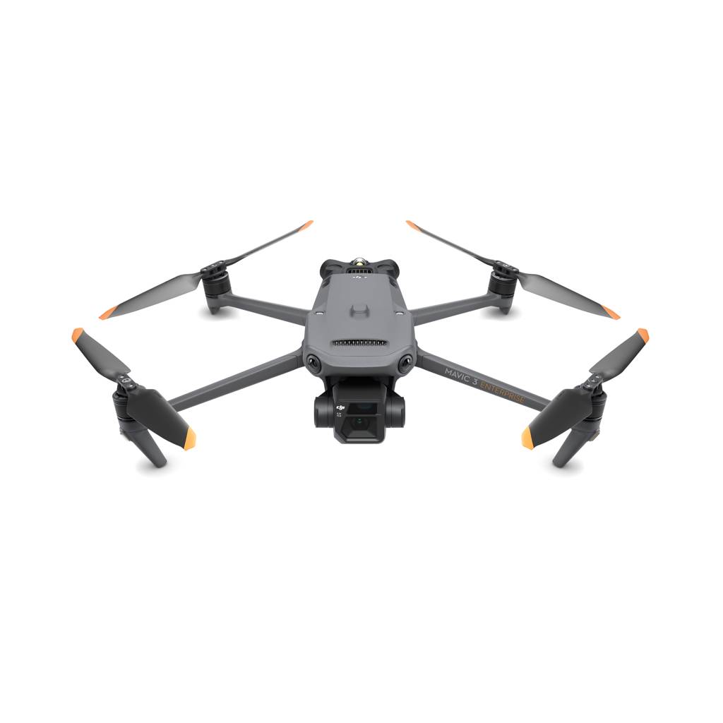
DJI Mavic 3E
A practical first-choice platform for fast orthomosaic capture, construction progress mapping, and smaller survey jobs where portability matters.
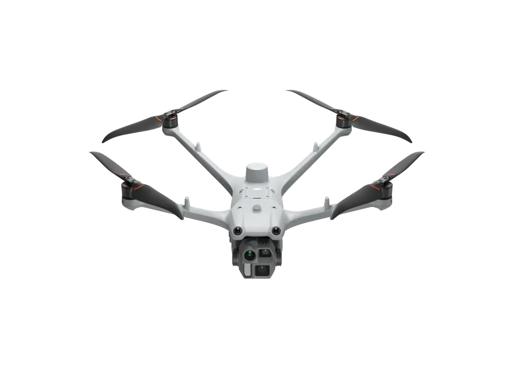
DJI Matrice 4D
Fits repeat site capture, infrastructure monitoring, and high-frequency mapping workflows where teams want more automation and a more robust enterprise airframe.
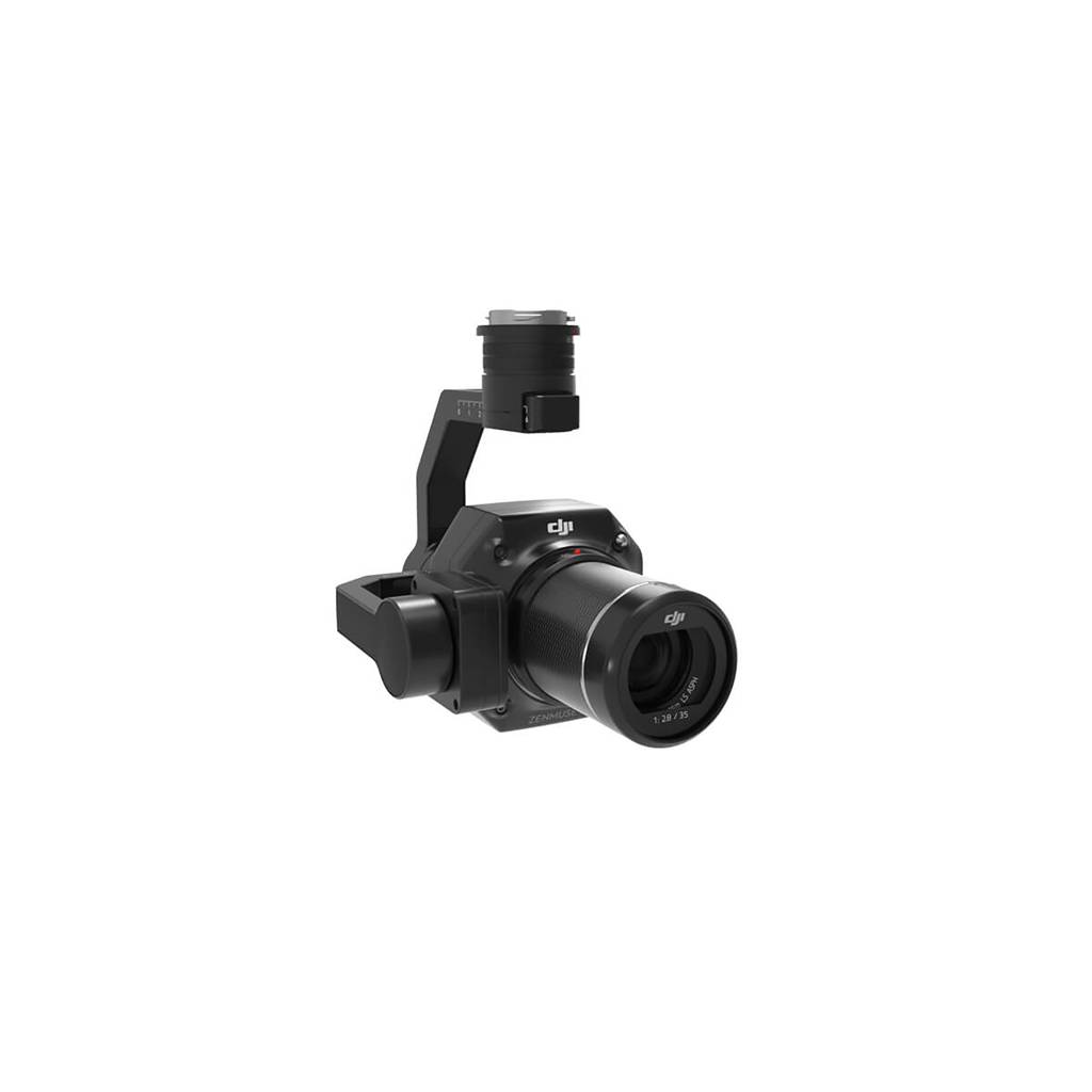
Zenmuse P1
Built for high-accuracy full-frame aerial surveying when deliverables depend on fast data capture and strong photogrammetric reconstruction quality.
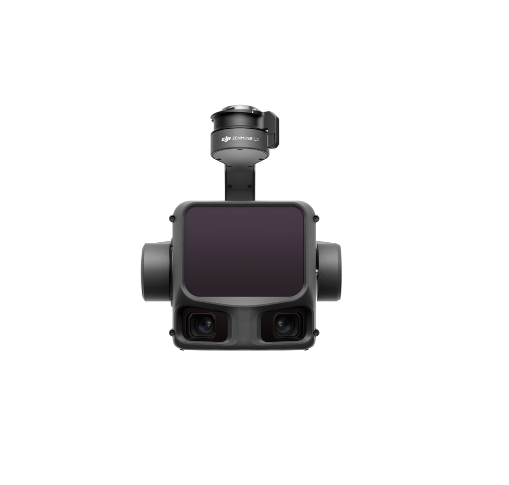
Zenmuse L3
A stronger fit when vegetation penetration, elevation modeling, or corridor capture makes LiDAR a better answer than photogrammetry alone.
Small-site mapping
Use compact RTK platforms when teams need fast site updates, topo snapshots, or progress documentation without the complexity of a large rig.
Terrain and corridor capture
Move to LiDAR or higher-end payload systems when vegetation, vertical structure, or long linear assets make photogrammetry less reliable.
Repeatable enterprise capture
Dock-capable or enterprise platforms fit recurring inspections, remote site documentation, and more automated mapping programs.
Deliverable-first workflow
Survey hardware matters only if the output can become something useful downstream, like an orthomosaic, point cloud, mesh, or DSM.
What belongs in a good survey stack
A capture platform sized to the site frequency, project size, and travel workflow.
A sensor choice that matches the deliverable: photogrammetry for most standard surface models, LiDAR when penetration or geometry demands it.
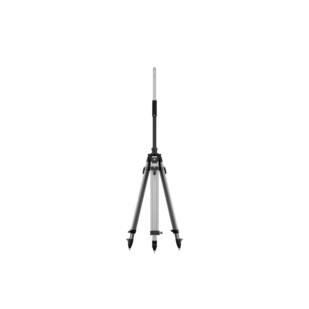
A reliable positioning setup so crews are not improvising field control on every project.
A reconstruction layer that can convert data into outputs clients or internal teams can actually consume.