Vineyard disease scouting
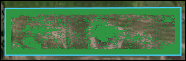
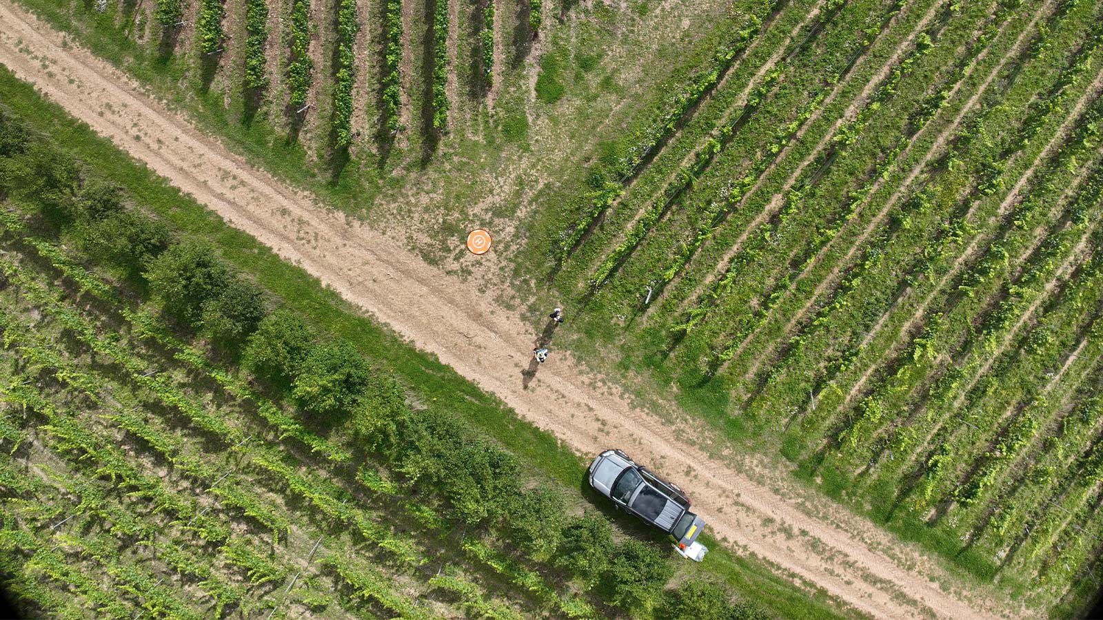
Pix4D documented a Hampshire vineyard workflow where multispectral surveys helped detect powdery mildew early, identify lower photosynthetic activity, and improve harvest sequencing.
Good scouting is not just collecting pretty maps. It is compressing an entire field into a practical decision layer so your team can prioritize weeds, disease, stand gaps, irrigation issues, and nutrient stress before they spread into yield loss.
Put the hardware stack near the front of the workflow and the application becomes easier to understand: one aircraft for capture, one RTK layer for repeatability, one stable tripod setup for positioning, and enough power infrastructure to keep flying while the agronomy window is open.
RGB explains context. Multispectral layers reveal changes in chlorophyll and canopy vigor that crews often miss from the road or field edge.
Field-wide maps expose patchiness, edge effects, wet holes, skips, and spread patterns that manual scouting can underrepresent.
The real value is not the map itself. It is converting zones into targeted inspection, fungicide, herbicide, fertility, or irrigation actions.
Teams that capture, process, and review the same day get the most value because timing is what turns scouting into prevention.
A scouting mission is worth running when it helps you decide where to inspect, where to intervene, and where to leave untouched.
Where are the lowest-vigor zones, and are they tied to emergence, compaction, drainage, disease, or nutrition?
Are weeds or disease clustered enough to justify targeted treatment instead of a field-wide pass?
Is crop variability stable, improving, or spreading compared with the last flight?
Do we need an agronomist in those zones today, or can the crop wait until the next operational window?
The strongest drone scouting programs follow the same sequence: capture, process, classify, ground-truth, and act.
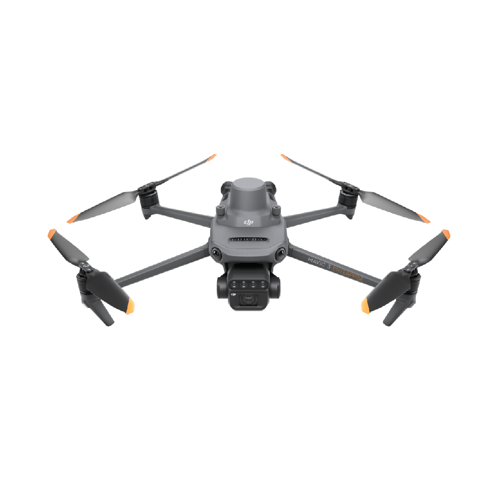
Use the Mavic 3M as the daily scouting aircraft, then choose altitude, overlap, and sensor settings based on whether you need stand gaps, weed pressure, disease scouting, or irrigation-related variability.
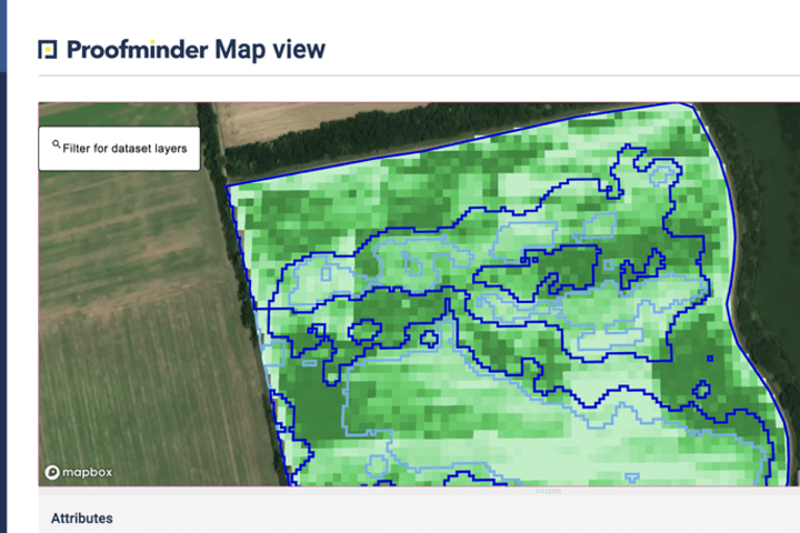
Build orthomosaics and vegetation indices such as NDVI or NDRE in DJI Terra, DJI SmartFarm, Pix4Dfields, or similar software.
Separate healthy canopy from suspect areas, then label those areas by probable cause and urgency rather than by color alone.
Use the map to reduce walking time and confirm whether the signal comes from weeds, insects, disease, compaction, nutrition, or water, then return to the same points more reliably with RTK support when needed.
That action may be a field note, a spray zone, an irrigation adjustment, a replant decision, or a follow-up mission, which is where spare batteries and dependable field power start to matter operationally.
These are the use cases where remote scouting consistently pays off: when issue distribution is uneven, response windows are short, or crews need to prioritize which acres deserve attention first.
Detect skips, weak emergence, row variability, and planting-quality problems early enough to decide whether replanting or rescue fertility is justified.
Use NDVI for broad vigor tracking and NDRE later in the season when dense canopies start to saturate NDVI response.
Map problem clusters so scouting teams inspect the right zones and spray teams avoid blanket treatment where pressure is low or absent.
Expose irrigation misses, low spots, leaks, ponding, and uneven crop cooling patterns before the entire field shows visible stress.
With RTK, tripod, and a disciplined mission plan, teams can revisit the same field geometry over time and compare changes more confidently.
Three examples show how scouting becomes operational when the output is tied to a decision, not just a report.

Pix4D documented a Hampshire vineyard workflow where multispectral surveys helped detect powdery mildew early, identify lower photosynthetic activity, and improve harvest sequencing.

Iowa State reported near 50% product savings and $13.42 per acre in economic savings from drone-based weed mapping with no significant yield difference versus broadcast treatment.

DJI's precision seeding case study showed 90%+ precise plant distancing and gap reports within hours, giving operators a faster way to validate emergence uniformity and planter performance.
DJI Mavic 3 Multispectral is the main scouting aircraft because it combines RGB and four multispectral bands with RTK-ready positioning and field-scale efficiency.
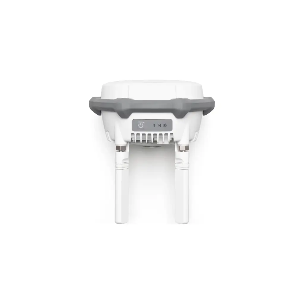
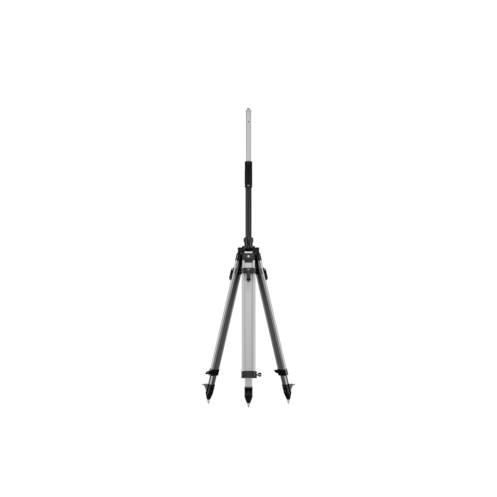
Pair the aircraft with a D-RTK 3 AG Module and Survey Pole plus Tripod when you want tighter repeatability for revisits, georeferencing, and scout-to-action workflows.
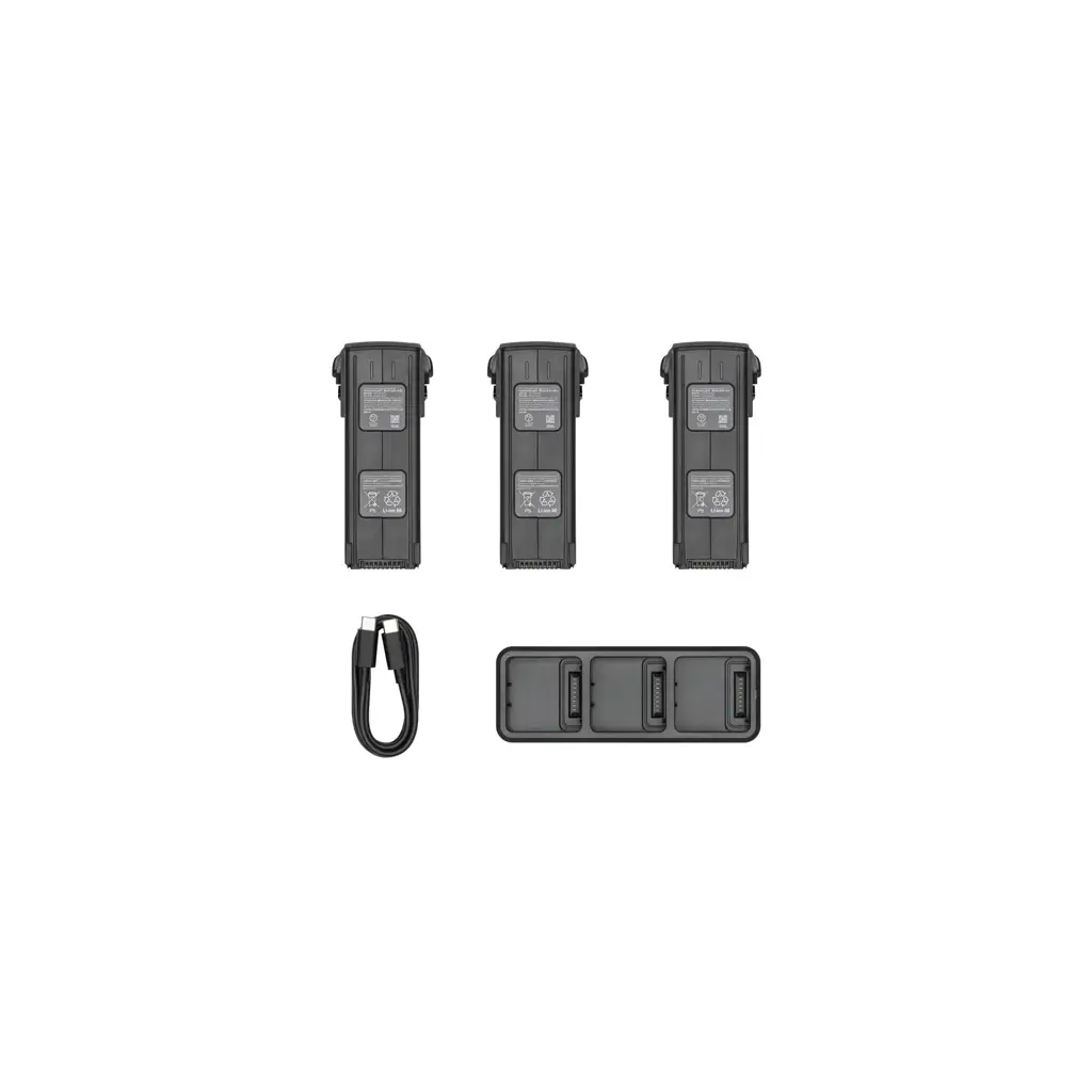
A battery kit and dependable field power matter because scouting value drops quickly when crews lose the weather window or cannot re-fly a field the same day.
Use DJI Terra or Pix4Dfields to create orthomosaics quickly, then generate NDVI, NDRE, GNDVI, and zonation layers depending on crop stage and canopy density.
Make maps actionable by linking them to scouting notes, agronomist observations, and, when appropriate, prescription layers for spray or fertility equipment.
A clean orthomosaic and at least one health layer such as NDVI or NDRE.
Management zones labeled by probable issue type and urgency.
GPS-linked field notes for the top-priority inspection areas.
A simple recommendation: inspect, spray, re-fly, irrigate, fertilize, or monitor.
This page was built from official DJI materials, Pix4D documentation, and university or extension publications so the workflow reflects how scouting is actually used in the field.