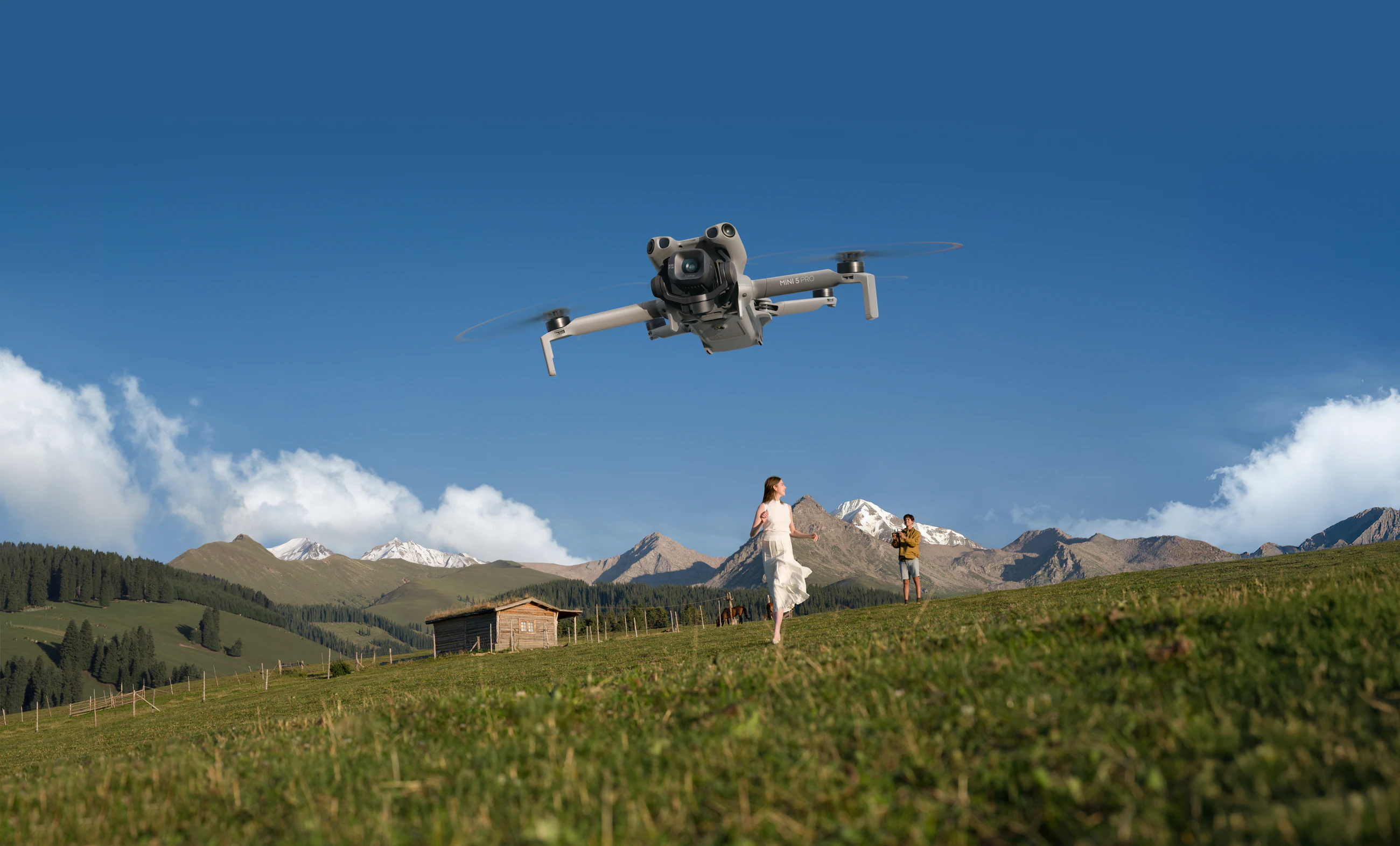
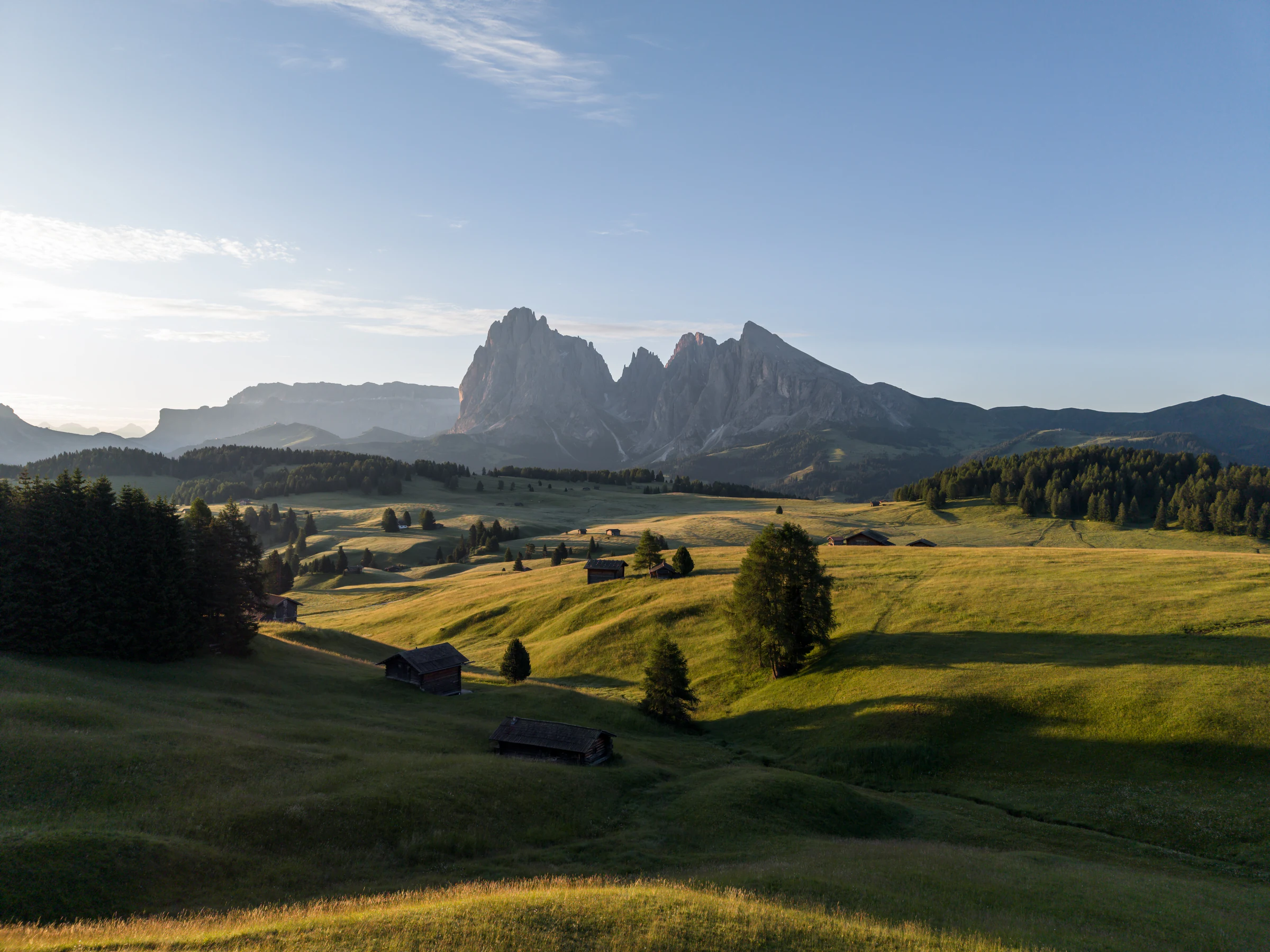
 9 min read
Drone camera settings for Canadian landscapes
Practical starting settings for sunrise, snow, water, forests, tracking shots, ND filters, and matching a DJI Mini 5 Pro with Osmo Action 6 footage.
Start the seriesOne field guide for choosing a compact aerial-and-ground kit, planning a legal Canadian launch, solving common camera problems, and returning with a story—not just a folder of flyovers.
A strong travel setup covers three distances: aerial context, eye-level movement, and close-up sound/detail. In Creator Armoury today, that means building around the DJI Mini 5 Pro and Osmo Action 6, then adding standard batteries, a hub, ND filters, and a separately checked audio solution.
Choose the nearest field pattern. The shopping list updates to show only products currently represented in Creator Armoury.
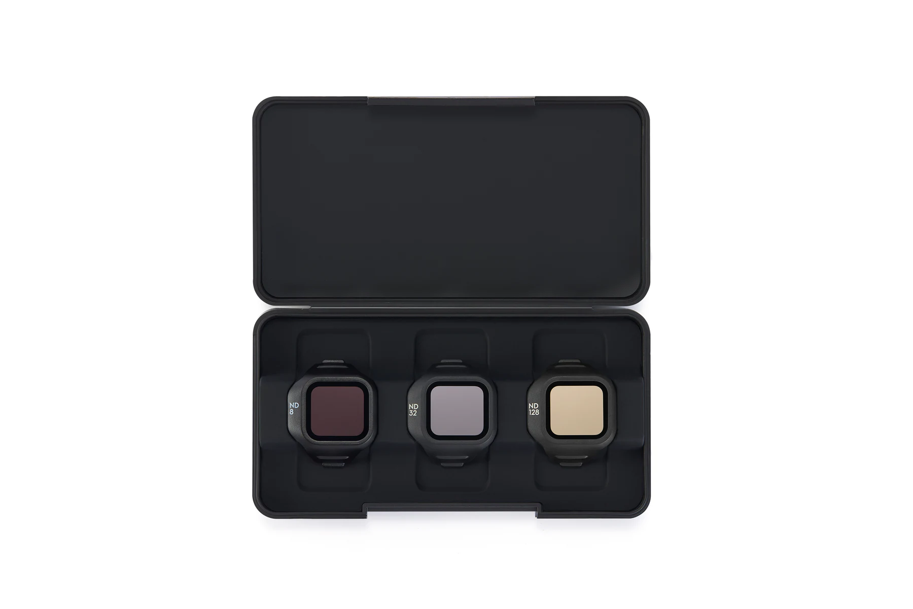
The balanced recommendation for a sunrise-to-sunset travel story.
Items may be sold separately. Product pages are the source of current configuration and availability; microphone and pocket-camera needs are checked by consultation.
Check the complete kitFour connected field guides turn the recommendation into a repeatable workflow. Start anywhere; every guide points to the next decision.
9 min readPractical starting settings for sunrise, snow, water, forests, tracking shots, ND filters, and matching a DJI Mini 5 Pro with Osmo Action 6 footage.
Start the series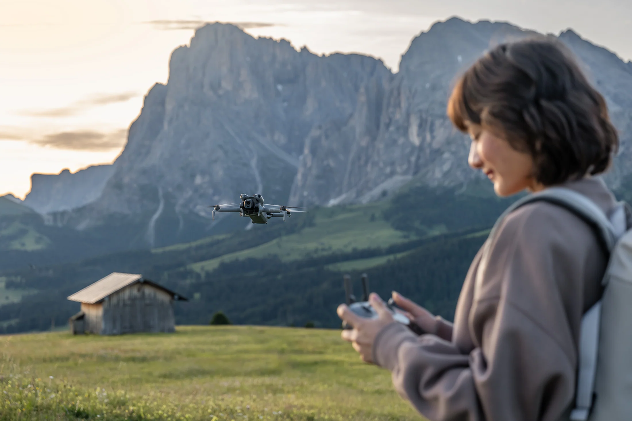 11 min read
A plain-language pre-flight workflow for aircraft weight, registration, certificates, airspace, land-use rules, weather, wildlife, and a safe fallback shot list.
Read the field guide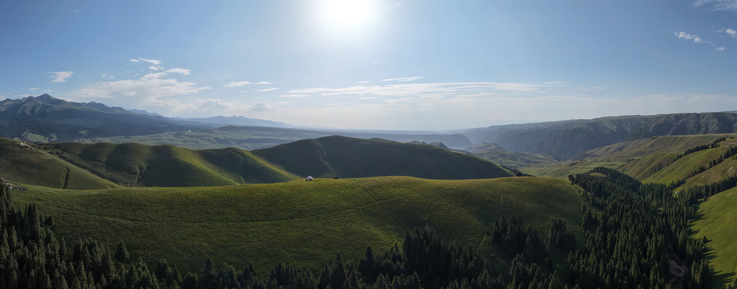 12 min read
Six photogenic Canadian regions to research, what to capture, what to pack, and why every launch still needs an airspace, landowner, municipal, and protected-area check.
Read the field guide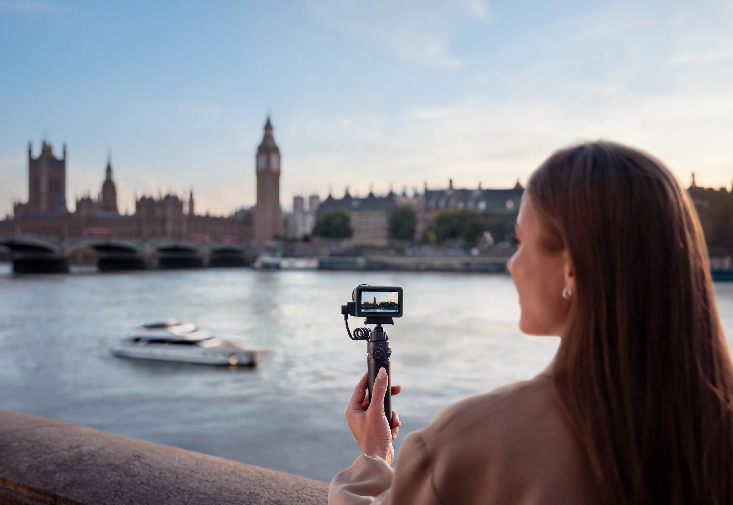 10 min read
Turn one location into a coherent short film with an establishing shot, movement, ground detail, clean voice, colour matching, backups, and a compact charging plan.
Read the field guide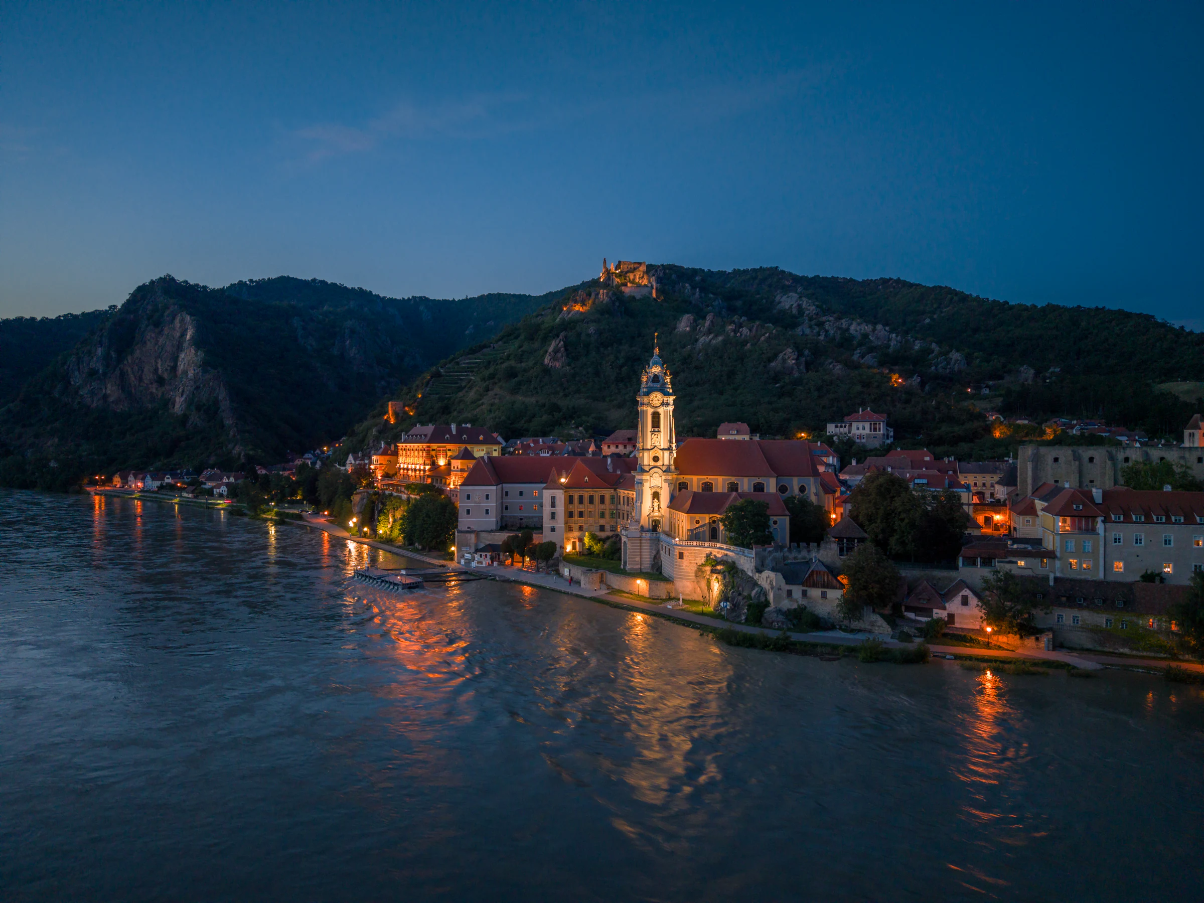
Light, wind, subject speed, and delivery format change the answer. Use these as production-minded starting points, then expose from the live image and histogram.
DJI’s published tutorials repeatedly favour simple, readable movement: a reveal for depth, tracking for human scale, and a wide sweep for geography. Its ND guide frames filters as light-control tools—not presets—and its support documentation confirms official D-Log M LUT availability for both the Mini 5 Pro and Action 6.
Begin behind a foreground layer, then rise or slide until the landscape opens.
Why it works: Adds depth to a wide scene that otherwise feels flat.Fly beside a walker, cyclist, road, shoreline, or tree line at a controlled, constant pace.
Why it works: Gives the edit human scale and direction.Start on the person or landmark, then move back and up to disclose the environment.
Why it works: Turns a portrait into a place story.These are trip-planning ideas, not pre-cleared launch sites. Confirm the exact coordinates in NAV Drone, the property owner, municipal rules, protected-area status, temporary restrictions, and conditions before every flight.
Orchards, farm geometry, limestone shorelines, and small-town ground footage—outside provincial parks and only with landowner/local permission.
Eroded layers and long shadows from lawful sites outside protected lands, heritage properties, and restricted municipal locations.
Road lines, field patterns, river valleys, and weather scale from permission-secured rural launch areas away from aerodromes.
River scale, hillside settlements, seasonal colour, and food-travel details outside parks and with property/municipal approval.
Harbour geometry, cliffs, weather, and working landscapes outside national/provincial parks and wildlife-sensitive areas.
Large-scale terrain and changing light from verified sites outside protected areas, with conservative wind and battery margins.
Banff, Jasper, Pacific Rim, and other Parks Canada places are no-drone zones for recreational pilots. Ontario, British Columbia, and Alberta parks also impose strong takeoff/landing restrictions or permission requirements. Bring the Action 6, record walking footage and sound, and leave the drone packed unless the responsible authority has issued the required permission.
Official Canadian updates appear first, followed by current industry reporting. Headlines refresh every six hours; links open at the publisher.
Transport Canada is the authority for Canadian aviation guidance. DroneDJ is an independent publication; inclusion is not an endorsement, and headlines should not be treated as regulatory advice.
Concise answers for search, planning, and the first equipment conversation.
Start with one mini-class drone for establishing views, one rugged ground camera for movement and detail, two or more standard flight batteries, a charging hub, ND filters, and a voice-recording plan. Add field power only when the trip is vehicle-supported.
No. A microdrone has a lighter federal framework, but airspace, emergency, privacy, land-use, municipal, protected-area, wildlife, and reckless-operation limits still apply. Check the exact launch and flight area every time.
Capture a wide establishing view, one reveal, one slow subject move, a ground-level walking sequence, ambient sound, and a short voice note. That sequence is more useful than collecting disconnected aerial clips.
Tell us the destination, how you travel, what you want to deliver, and what gear you already own. We’ll check the aircraft, ground camera, audio gap, batteries, filters, charging, and support path as one system.