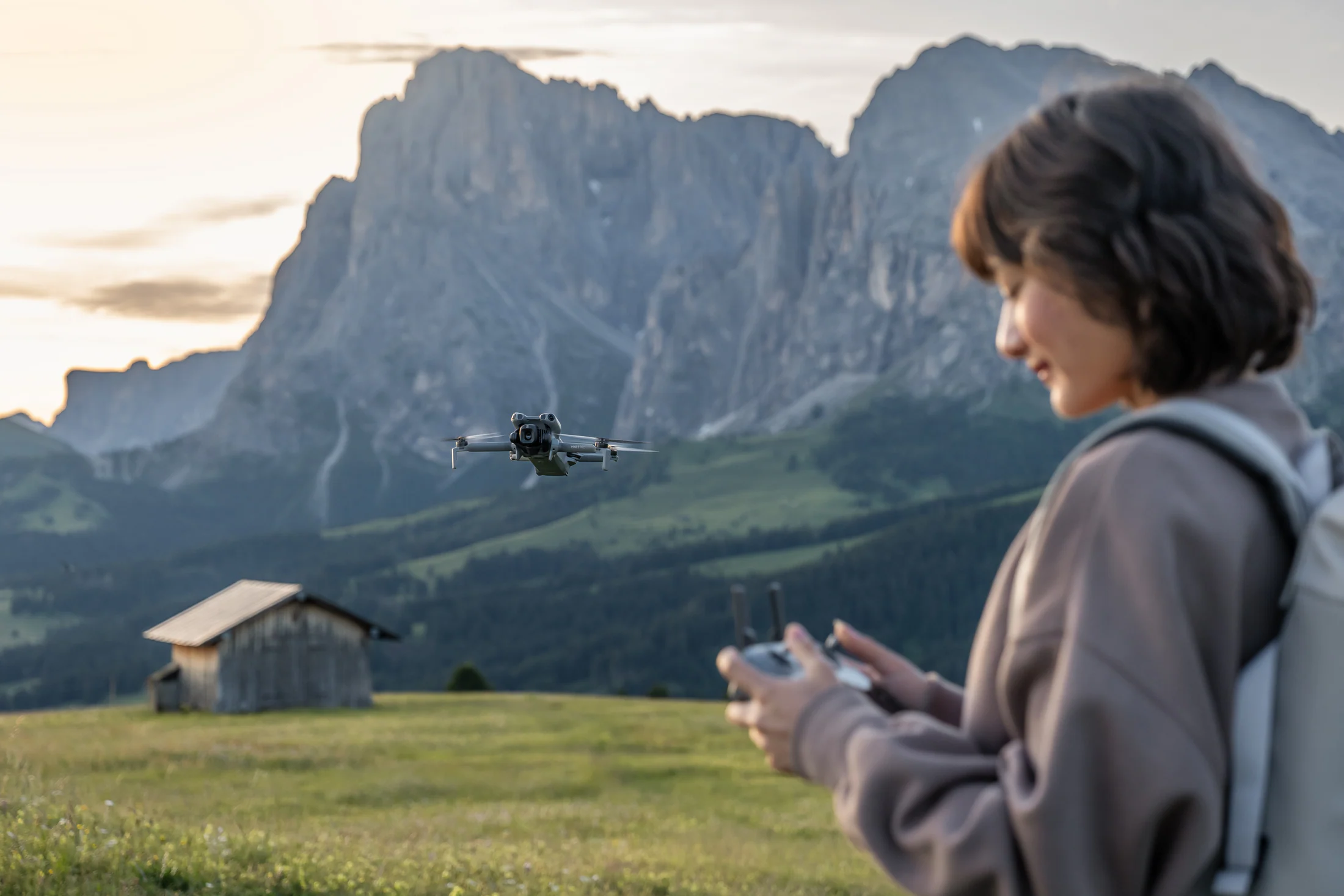
A useful Canadian pre-flight sequence is: identify the aircraft and ready-to-fly weight, confirm the pilot/registration path, check airspace in NAV Drone, confirm permission for the ground you will use, survey people and hazards, then decide whether the shot is still worth flying.
Start with the ready-to-fly weight.
Transport Canada separates microdrones below 250 g from small drones at 250 g to 25 kg. A microdrone does not carry the same registration and pilot-certificate framework, but it is not exempt from all aviation and land-use rules. Batteries, guards, lights, and other attachments can change the ready-to-fly weight, so check the exact configuration—not the marketing class.
Micro does not mean “fly anywhere.”
Transport Canada says drones below 250 g do not need registration unless attachments bring them to 250 g or more. Reckless or negligent operation remains prohibited, and site-specific airspace, emergency, privacy, park, wildlife, and property restrictions can still stop a flight.
Verify registration requirements at Transport CanadaPass five gates before unpacking the aircraft.
Aircraft and pilot
Confirm the aircraft, exact takeoff weight, registration/marking if required, pilot-certificate category if required, firmware, batteries, propellers, storage, and the manual.
Airspace
Use NAV Drone to inspect the specific time and coordinates. Check nearby aerodromes, controlled airspace, temporary restrictions, and whether an authorization is needed. NAV CANADA describes NAV Drone as its official planning and permission tool for NAV-controlled airspace.
Ground authority
Identify who controls the launch, landing, parking, trail, roadside, conservation land, park, event, or private property. Airspace visibility in an app is not landowner permission.
Site survey
Walk the area. Find people, roads, wires, trees, animals, signal shadows, wind channels, sun direction, takeoff surface, emergency landing areas, and a recovery path.
Mission and fallback
Write the minimum shot list and a firm no-go threshold. If the launch fails any gate, switch to ground footage, ambient sound, detail shots, or a return visit.
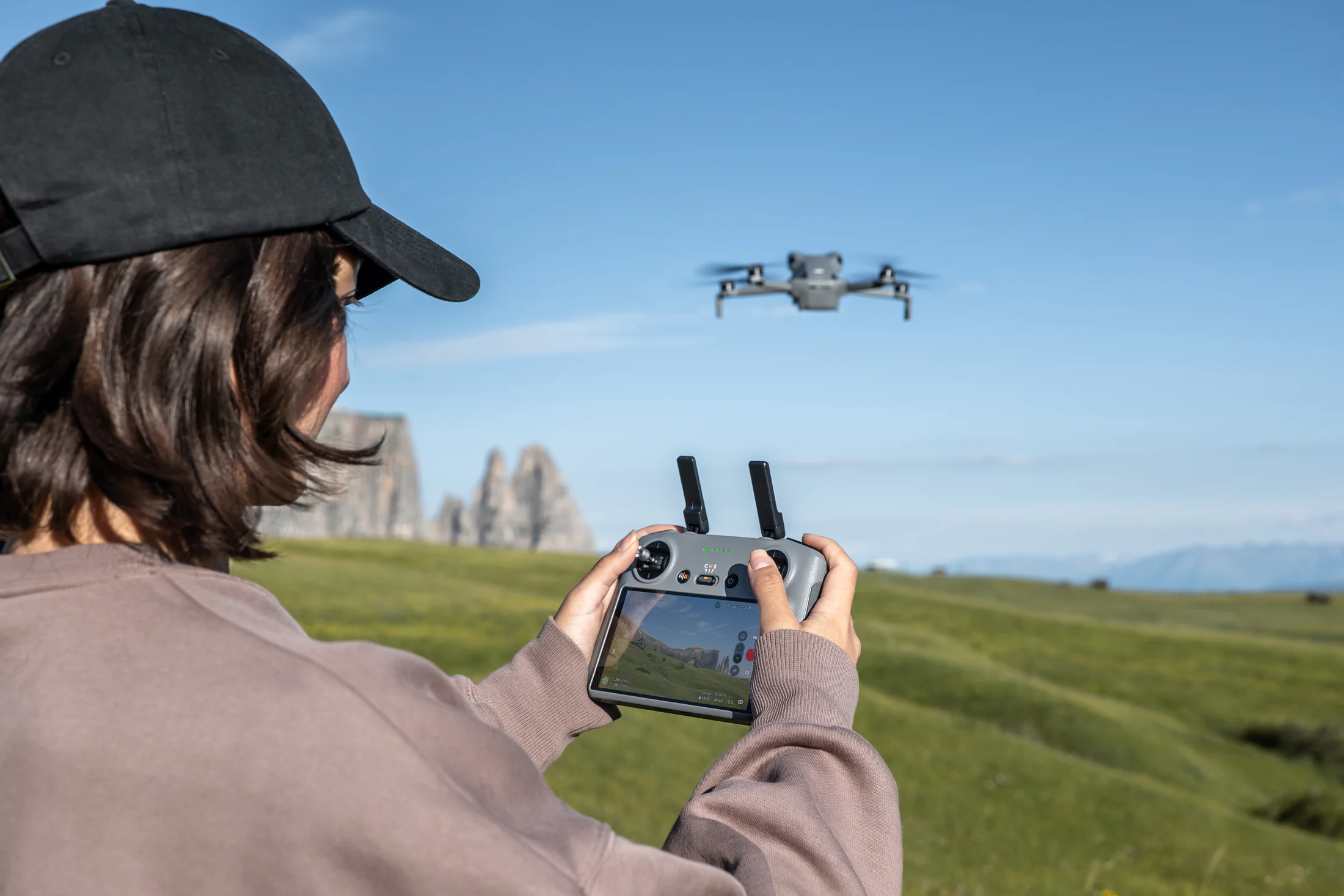
Protected places need their own permission check.
Parks Canada states that all Parks Canada places are no-drone zones for recreational use. Non-recreational projects may require written authorization or a film/photography permit. Provincial rules differ, but Ontario Parks says recreational drones are not permitted, BC Parks says operating without permission is illegal, and Alberta Parks prohibits recreational drone use across its provincial parks.
This is why Banff, Jasper, Pacific Rim, and many other iconic trip names should be planned as ground-camera stories unless the responsible authority has issued the necessary permission.
What usually breaks a travel flight plan.
“The map looked clear.”
An airspace map does not answer landowner, municipal, protected-area, event, wildlife, privacy, or operational questions. Keep airspace and ground authority as separate checks.
“It is under 250 g.”
Microdrone status changes some federal requirements; it does not grant blanket access. Confirm the exact ready-to-fly weight and the location rules.
“I will decide the shot after takeoff.”
That burns battery and attention. Pre-visualize a short, legal route with a defined start, end, height envelope, subject movement, and abort point.
“The wind is fine at the car.”
Wind can differ above trees, ridges, cliffs, and shorelines. Use conservative outbound distances, watch battery trend, and preserve a return margin.
“I can fix the missing aerial in post.”
Plan a ground substitute: a high trail viewpoint, a slow reveal around foreground, a wide static shot, detail inserts, and location sound.
Save this trip checklist.
- Record aircraft model, exact ready-to-fly weight, registration number if required, and the relevant pilot credential.
- Check NAV Drone for the coordinates and intended time; review applicable notices and authorization needs.
- Confirm who owns or manages the launch/landing site and obtain any required written permission.
- Review municipal, park, conservation, event, Indigenous land, wildlife, and privacy considerations.
- Survey weather, wind, people, obstacles, emergency areas, signal conditions, and sun direction.
- Set a short shot list, battery minimums, return margin, abort criteria, and a ground-camera fallback.
Primary and published sources
Rules and product guidance can change. These links were reviewed on August 16, 2026; re-check them before relying on the information for a trip or purchase.
Transport Canada — Registering your droneTransport Canada — Operation categories and pilot certificatesTransport Canada — Where to fly your droneNAV CANADA — NAV Drone support and viewerParks Canada — Drone rulesOntario Parks — Drone policyBC Parks — Responsible recreationAlberta Parks — Regulations