 11 min read
Track people and bikes without losing the route
Turn a follow-shot idea into a surveyed route, a conservative tracking setup, a ground-camera fallback, and a clear abort plan.
Start the seriesA field guide for tracking people, bikes, and controlled vehicle action from the air and ground—without handing the safety plan to automation.
Use Neo 2 for compact follow and self-capture, Action 6 for body, bike, water, winter, and ground movement, then add the mount, tether, batteries, and route control each shot actually needs. For vehicles, work only on a closed or private controlled course with permission and crew.
Three production patterns reveal real Creator Armoury products and the safety work each setup still requires.
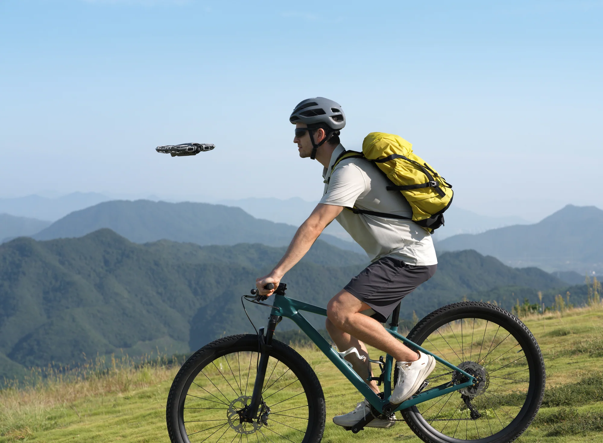
For runners, hikers, ski approaches, and outdoor profiles where the subject—not speed—is the story.
Product pages are the source of current configuration and availability. Every aerial route remains subject to location, category, permission, and safety checks.
Check the complete setupFour connected, source-backed guides turn the recommendation into a production workflow. Each one includes starting settings, common failures, and direct next steps.
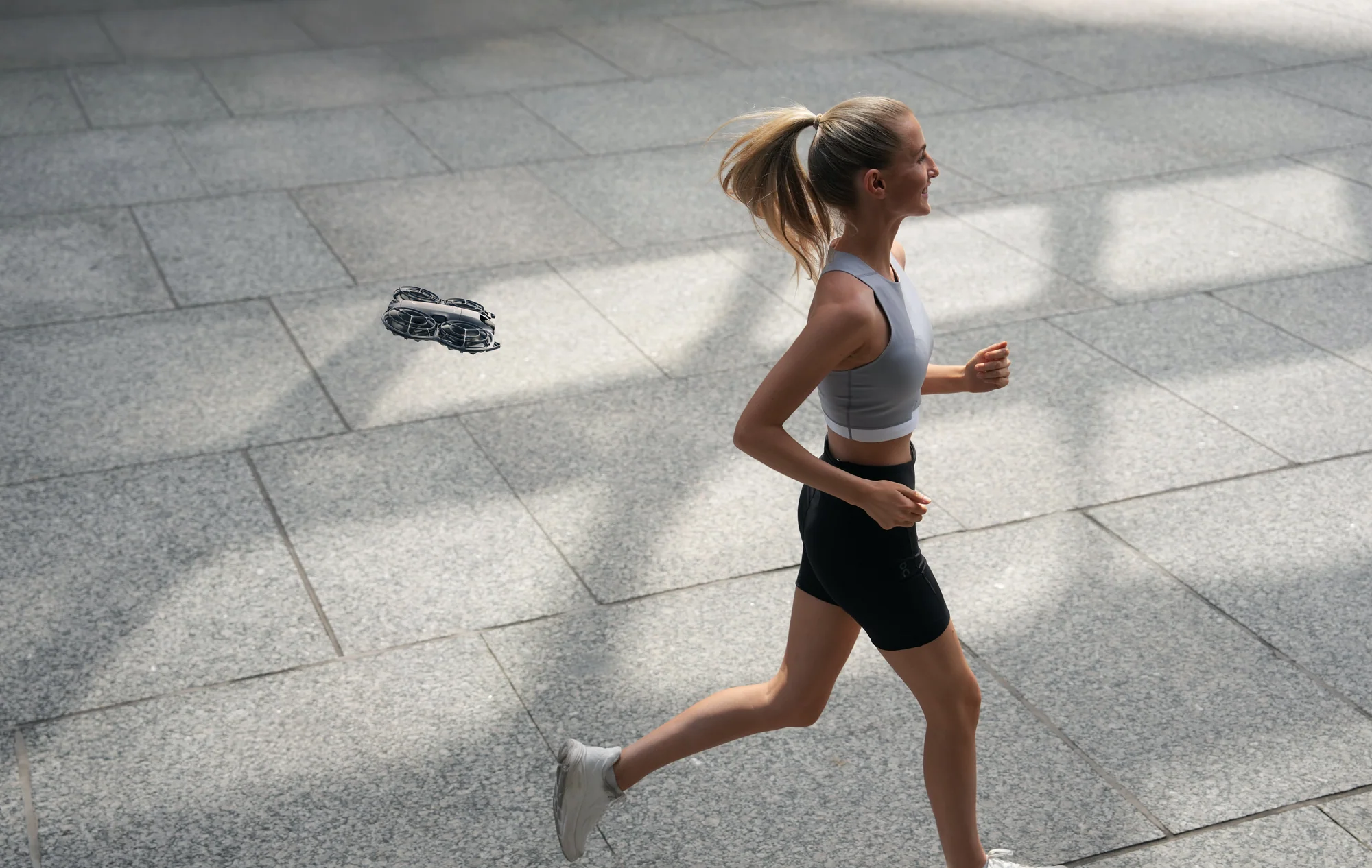
11 min readTurn a follow-shot idea into a surveyed route, a conservative tracking setup, a ground-camera fallback, and a clear abort plan.
Start the series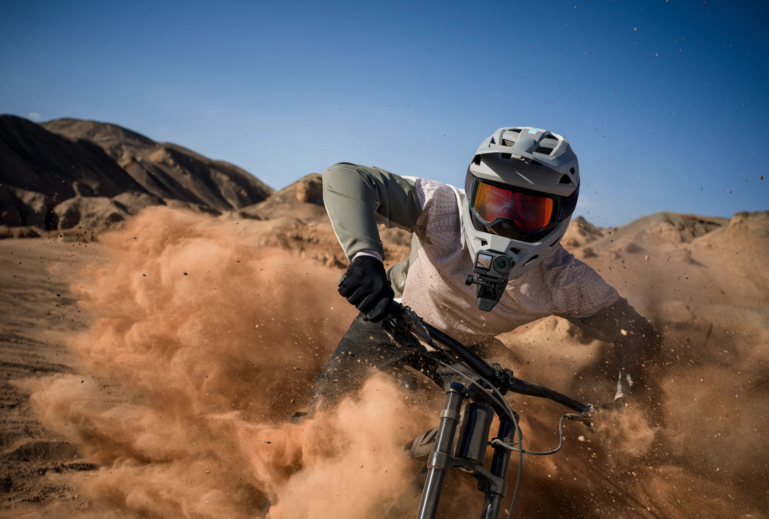 10 min read
Choose frame rate, shutter intention, orientation, stabilization, aperture, and mounting for cycling, motorsport, water, winter, and handheld action.
Read the guide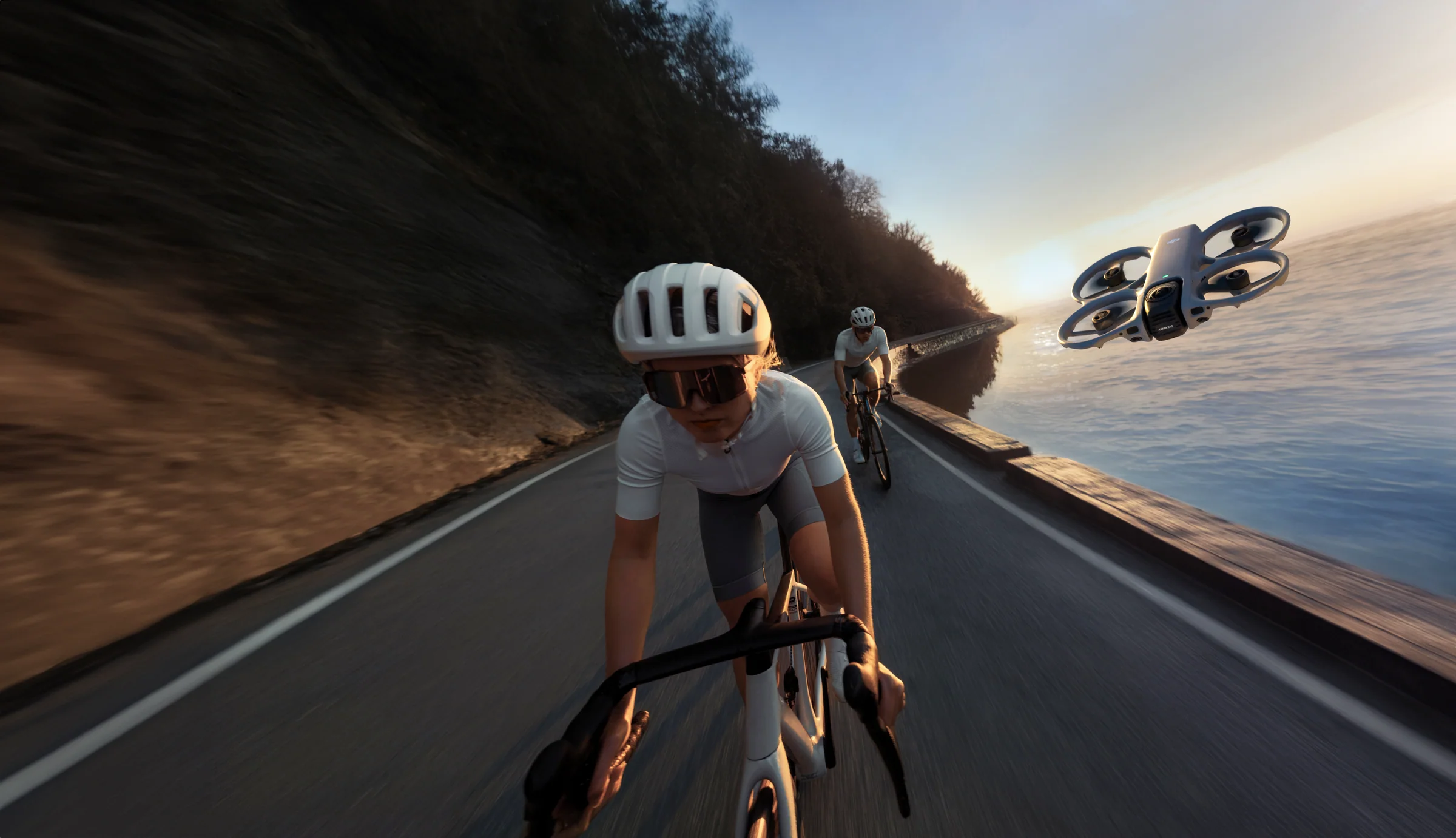 9 min read
Combine route geography, controlled tracking, mounted POV, detail, sound, and a safe finish into an edit-ready action sequence.
Read the guide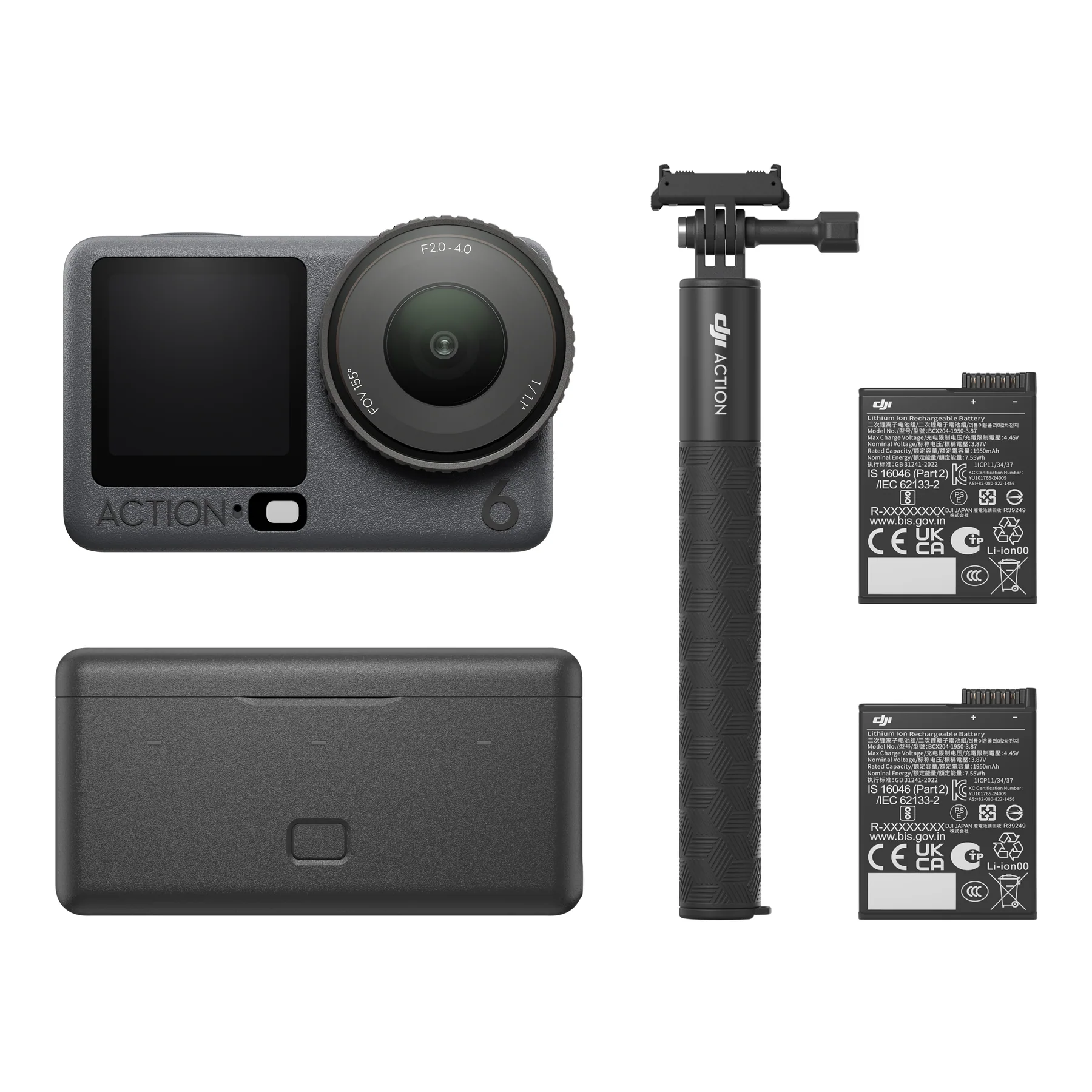 8 min read
Choose the drone, action camera, mount, batteries, case, cleaning, storage, and redundancy for a real outdoor production day.
Read the guideEstablish direction, change distance, and keep the subject’s path clear. Faster cameras do not fix a confusing route.
Open the production workflowShorten the route until every branch, crossing, and exit is understood.
A tether, dry spare, clean lens, ground master, and abort signal earn their place.
DJI publishes ActiveTrack, Cycling Follow, stabilization, high-frame-rate, waterproofing, and direct-audio capabilities. The useful production lesson is to pair each automated feature with a route, light, mount, and recovery test.
DJI’s tracking guidance names difficult light, subject changes, and similar nearby subjects as failure conditions. Survey a short corridor and rehearse the exit.
Field adaptation of the linked published guidance.Action 6 supports 4K/120 in specified aspect ratios. Reserve it for planned slow motion with enough light; use 4K/60 as a flexible action starting point.
Field adaptation of the linked published guidance.DJI lists 20 m bare and 60 m with the case under stated conditions. Inspect seals, rinse after salt, dry before opening, and stop for lens droplets.
Field adaptation of the linked published guidance.These are application ideas, not pre-cleared drone sites. Confirm airspace, the land or venue controller, people, wildlife, local rules, weather, and the exact operation.
Owner-approved route, staged riders, spotters, Neo 2 follow, Action 6 handlebar and static pass.
Controlled course, production briefing, surveyed corridor, long-lens ground master, aerial only when the flight plan supports it.
Ask the operator first. If drone permission or conditions fail, build the story with Action 6, details, sound, and lawful fixed viewpoints.
Check land access, marine users, wind, birds, recovery, cold water, and a ground-only paddling sequence.
Ground camera and RS setup only unless the facility and operation specifically support indoor flight. Control mirrors, people, dust, and pathways.
Use a closed segment, participant releases, a spotter at blind points, short follow moves, and a planned ground-camera substitute.
Closed routes, venue permission, participant releases, and ground-camera fallbacks make bolder action possible without asking automation to manage traffic, crowds, or blind corners.
Official Canadian updates appear first, followed by current industry reporting. Headlines refresh every six hours; links open at the publisher.
Transport Canada is the authority for Canadian aviation guidance. DroneDJ is an independent publication; inclusion is not an endorsement, and headlines should not be treated as regulatory advice.
Short, catalog-aware answers for planning and search. Product pages remain the source of current configuration and availability.
No. Sensing and tracking have environmental and subject limits. Survey the route, preserve separation, keep visual line of sight, and be ready to stop the operation.
4K/60 with locked white balance and appropriate stabilization is a flexible starting point. Change shutter, frame rate, orientation, and horizon mode for the light, speed, and delivery.
Do not build this workflow around active public traffic. Use a private or closed controlled course with permissions, a briefed crew, a surveyed route, and an operation compliant with Canadian aviation rules.
Tell us the subject, speed, location, weather, deliverables, and crew. We’ll map the aerial, action camera, mounts, power, and safety gaps as one production system.
Product capabilities are summarized from linked DJI materials. Canadian aviation links point to Transport Canada. Privacy material is planning context, not legal advice. Confirm current rules, permissions, product compatibility, included items, and availability for the exact operation.